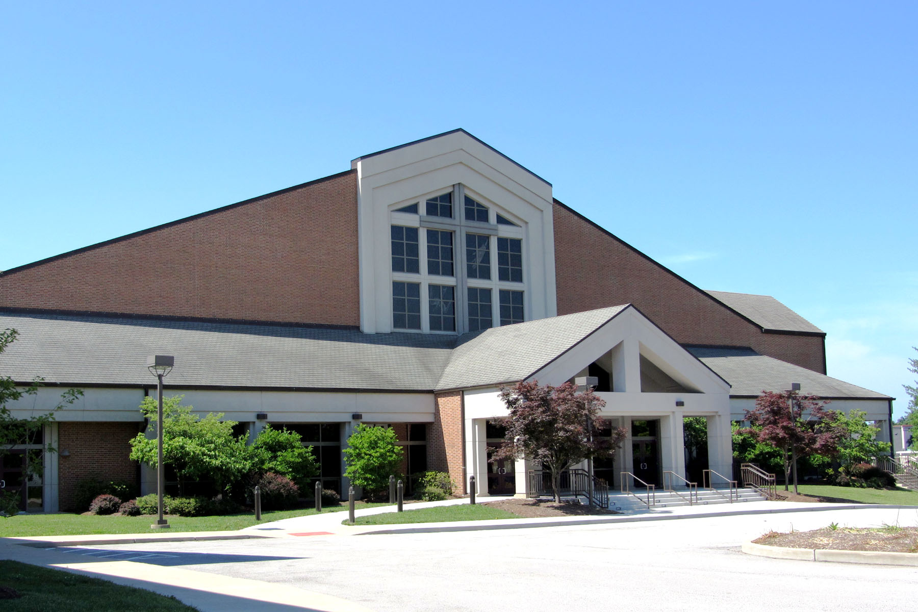
St. John Lutheran Church, Ellisville
(In 2019, this church changed its name to Pathfinder.)Genealogical DataThe following indexes and/or records from this congregation are available: Baptisms from 1851–1875, 1883, 1887–1889 Information about these baptisms was first published in the 1982–1983 St. Louis Genealogical Society Quarterly, volumes 15 and 16, numbers 1 and 4, pages 7–10 and 102. HistoryOpened in 1851; still open in 2016 In 1851, twenty families living in the far western part of St. Louis County organized an independent German Evangelical Lutheran church in the area that is today’s Ballwin/Ellisville. They called themselves Concordia Lutheran Church, known in German as the Evangelische Lutherische Eintrachts Gemeinde. Their first building, erected in 1859, was located on Reinke Road, about a mile east of where the modern church stands. |
Photo by Donald A Wallace © 2011 (Used with permission) |
|
In 1871, William Hutchinson, a local farmer, donated land on Manchester Road, for a new church. In 1878, the congregation built a new school next to the church and they joined the Lutheran Church Missouri Synod. The name of the church was changed to St. John’s Evangelical Lutheran Congregation of the Unaltered Augsburg Confession. The original church was replaced with a new building in 1956. Again, a new building was constructed in 1992 and the old church was used for additional activities until it was razed in 2007. The name of the church was also changed to St. John Lutheran Church to avoid confusion with other St. John’s churches in the area. A further name change to Pathfinder occurred in March 2019. Address: 15800 Manchester Road, Ellisville, Missouri 63011 Telephone: 636-394-4100 Church website: https://pathfinderstl.org/ Location 1851–1871: 255 Reinke Road, Ballwin, Missouri 63021 Location 1871–1878: Manchester and Clarkson Roads, Ellisville, Missouri 63021 Location 1878–2019: 1220 Manchester Road (now 15800 Manchester), Ellisville, Missouri 63011 Location 2019–present: 15808 Manchester Road, Ellisville (Pathfinder) |
|
St. John Lutheran has two cemeteries associated with the congregation:
Old St. John Lutheran Cemetery on Reinke Road, for access click here.
New St. John Lutheran Cemetery on Manchester Road, for access click here.
Last Modified: 04-Aug-2025 18:51
