St. John’s Lutheran Cemetery (Old) (St09)
|
1262 Westrun Dr Ballwin, Missouri 63021 Lutheran Cemetery Established: mid-1800s Size: 1.51 acres Burials indexed: 19 |
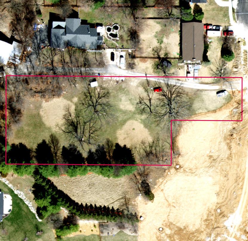 Click on this image to see it georeferenced in a Google Maps interface. Image courtesy of the year 2018 ArcGIS layer from St. Louis County GIS Center |
GPS Coordinates: Latitude: 38.582455, Longitude: -90.56796 Click here for a Google map to the cemetery.
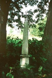
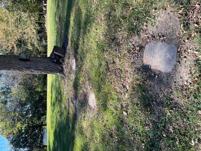
A cemetery at this location was established originally by the Concordia Evangelical Lutheran congregation. Eventually, they would change their name to St. John Lutheran and move east to Manchester Road. Only one visible stone remains in this location but recent work has uncovered several others. This cemetery is nearly gone and the records are incomplete.
In 2019 St. John Lutheran changed its name to Pathfinder.
Source of Data for this Cemetery
Data recorded from tombstone by StLGS volunteer Joyce Mercer.
Cemetery Specific Data Notes
None.
Additional Resources
The ![]() Old Saint John’s Lutheran Cemetery page has a listing of almost all the memorials. No representations or warranties, express or implied, are made as to the accuracy, completeness, or reliability of this data.
Old Saint John’s Lutheran Cemetery page has a listing of almost all the memorials. No representations or warranties, express or implied, are made as to the accuracy, completeness, or reliability of this data.
For more information on the St. John Lutheran-Ellisville (now Pathfinder) congregation, click here.

Last modified: 24-May-2025 15:20