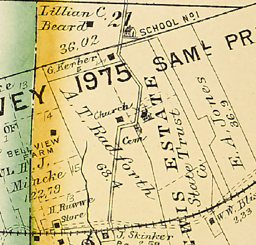
On The Curve Cemetery
Also known as old Lewis Cemetery and W S Cuddy Cemetery.
GPS Coordinates: Latitude: 38.540626, Longitude: -90.580824 Click here for a Google map.
This cemetery is “On the Curve” of St. Paul Road north of Jedberg Road near the community of Sherman. It is on private property.
Source of Data for this Cemetery
Society volunteer Joyce Mercer. The records were collected in 2007 and by the DAR in 1968.
Cemetery Specific Data Notes
No Location field detail is available for the graves in this cemetery.
You are viewing a limited set of results.
Become a member to get full access to all search results and other member-only content!
Last modified: 03-Oct-2024 22:44

