St. Peter’s Evangelical Lutheran Church
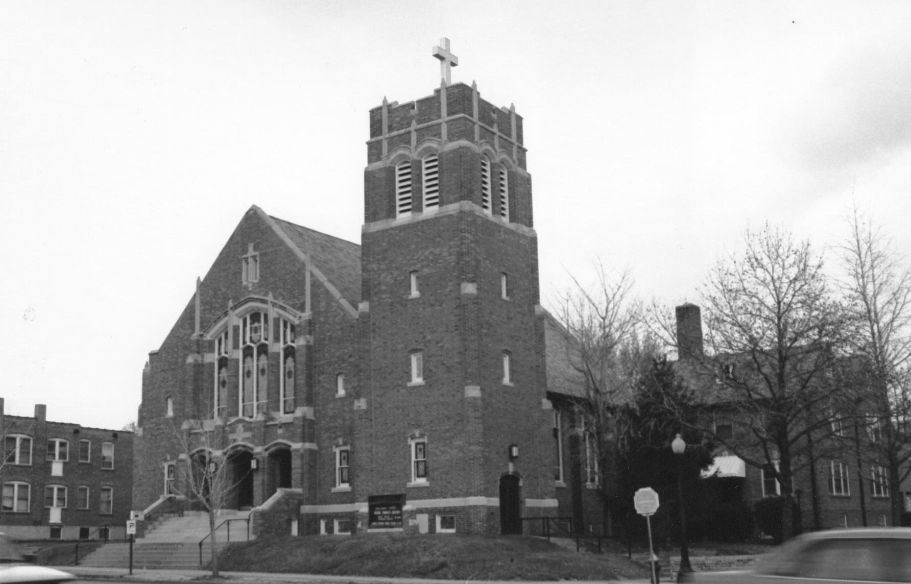
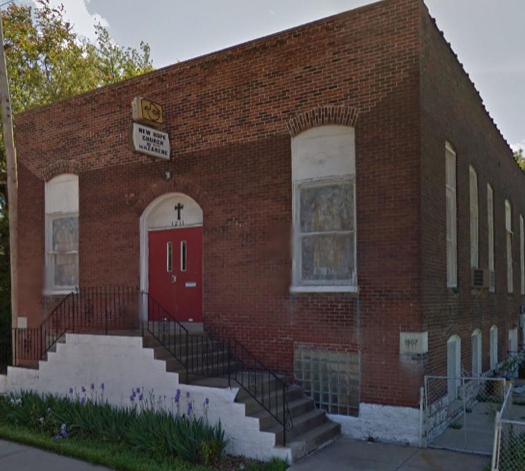
Genealogical DataThe following indexed records from this congregation are available: Confirmations from 1895 to 1928 Please note: Confirmations are missing from 1929 until 1968. Marriages from 1895 to 1926 and 1965 to 1980 Deaths from 1895 to 1926 and 1965 to 1975 Please Note: Many records from 1929 through the 1960s from this congregation appear to be missing. StLGS does NOT have those records. StLGS is following state guidelines for privacy wherever possible. Births/baptisms online must be at least one hundred years old; confirmations eighty-six years old; marriages forty-five years old; and deaths fifty years old. Additional indexed data from these records is available; please come to the StLGS office to view it. As privacy limits permit, society volunteers will post additional data online. HistoryEstablished in 1895 St. Peter’s Evangelical Lutheran Church began as a “daughter” of Christ Evangelical Lutheran Church, located at Caroline and Theresa Streets in St. Louis City. In 1889, Christ Church opened a branch school and bought a lot at the corner of Vista and Newstead Avenues a year later. They erected a building intended to be both a school and a place of worship. Five years later, on 6 March 1895, members of the new congregation, most of whom had children who had been attending the branch school, organized themselves as St. Peter’s and by September of that year, they installed a full-time pastor. By 1904, the congregation had outgrown the original building and found a lot at Swan and Newstead. They actually moved their building to the new site and used it for services while building a new, larger church, which they dedicated in 1907. The congregation remained at that site until 1926, when they moved again, this time to the corner of Wichita Avenue and South Kingshighway Boulevard where they remained until closing in 2008. |
|
| Location 1895–1904: Vista and Newstead Avenues, St. Louis, Missouri 63110
GPS (Latitude, Longitude): 38.6240612, -90.2603409 View Map Location 1904–1926: Swan and Newstead Avenues, St. Louis, Missouri 63110 GPS (Latitude, Longitude): 38.6257319, -90.2615637 View Map Location 1926–2008: 1126 S. Kingshighway Boulevard, St. Louis, Missouri 63110 GPS (Latitude, Longitude): 38.6276979, -90.2663301 View Map |
|
Last Modified:
15-Jul-2025 11:46

