St. Mark’s Evangelical Lutheran Church-Clayton
|
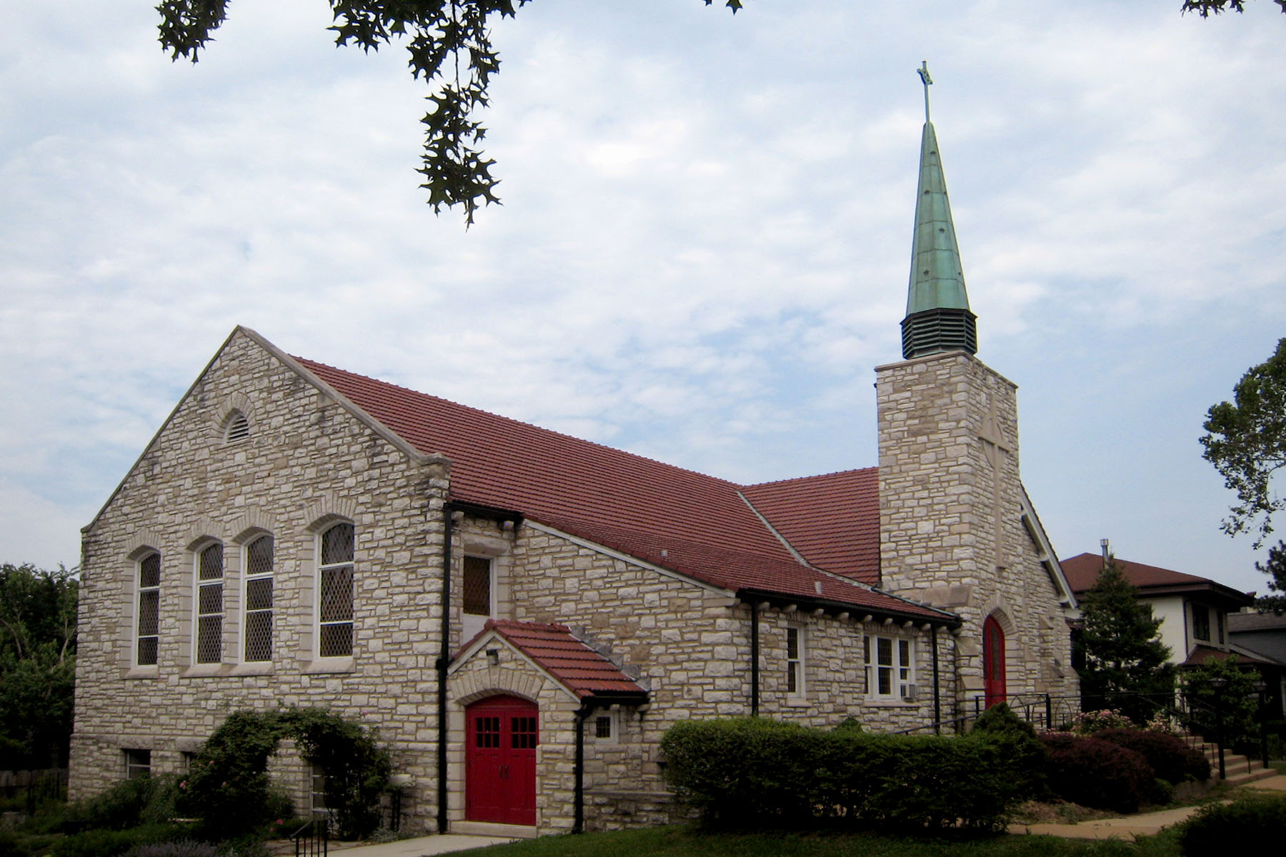
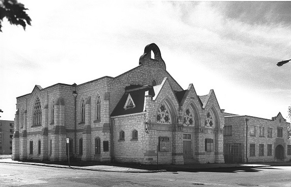
(ELCA—Evangelical Lutheran Church in America) Genealogical DataA limited amount of data for this church is available at this time. The following indexes and records from this congregation are available: Baptisms from 1867 to 1869 and 1895 to 1905 Confirmations from 1867 and 1889 to 1905 Marriages from 1868, 1869, 1945 to 1979 Deaths recorded from 1868, 1869, 1946 to 1974 StLGS is following state guidelines for privacy wherever possible. Births/baptisms online must be at least one hundred years old; confirmations eighty-six years old; marriages forty-five years old; and deaths fifty years old. Additional indexed data from these records may be available; please come to the StLGS office to view it. As privacy limits permit, society volunteers will post additional data online. HistoryEstablished 1867; still open in 2025 Between 1867 and 1869, the early members of this congregation met in a Masonic Hall at 10th and Carr Streets in downtown St. Louis City. Their first building was completed in 1869 at Elliott and Wash Streets (now Cole). The construction was especially significant because this church would house the first English speaking Lutheran congregation in St. Louis. In 1882, a larger church was constructed at Cardinal and Bell Streets. In 1921, the church moved into its present building on Clayton Road. For a more comprehensive history of St. Mark’s, be sure to visit the church’s website. |
Photo by Karl Bloomberg © 2015 (Used with permission)
Photo courtesy of Landmarks Association © 2015 (Used with permission) |
|
Address: 6337 Clayton Rd, Clayton, Missouri 63117 Telephone: 314-721-6974 Website: www.stmarkselca.com Location 1869–1882: Elliott and Wash (now Cole) Street, St. Louis, Missouri 63106 Location 1882–1921: Cardinal and Bell Streets, St. Louis, Missouri 63106 Location 1921– : 6337 Clayton Rd, Clayton, Missouri 63117 |
|
Last Modified:
10-Apr-2025 10:57
 St. Mark’s Lutheran, Clayton
 St. Mark’s English Lutheran, 3104 Bell Ave.