Old Bremen Saxon Cemetery
This cemetery is no longer in existence.
|
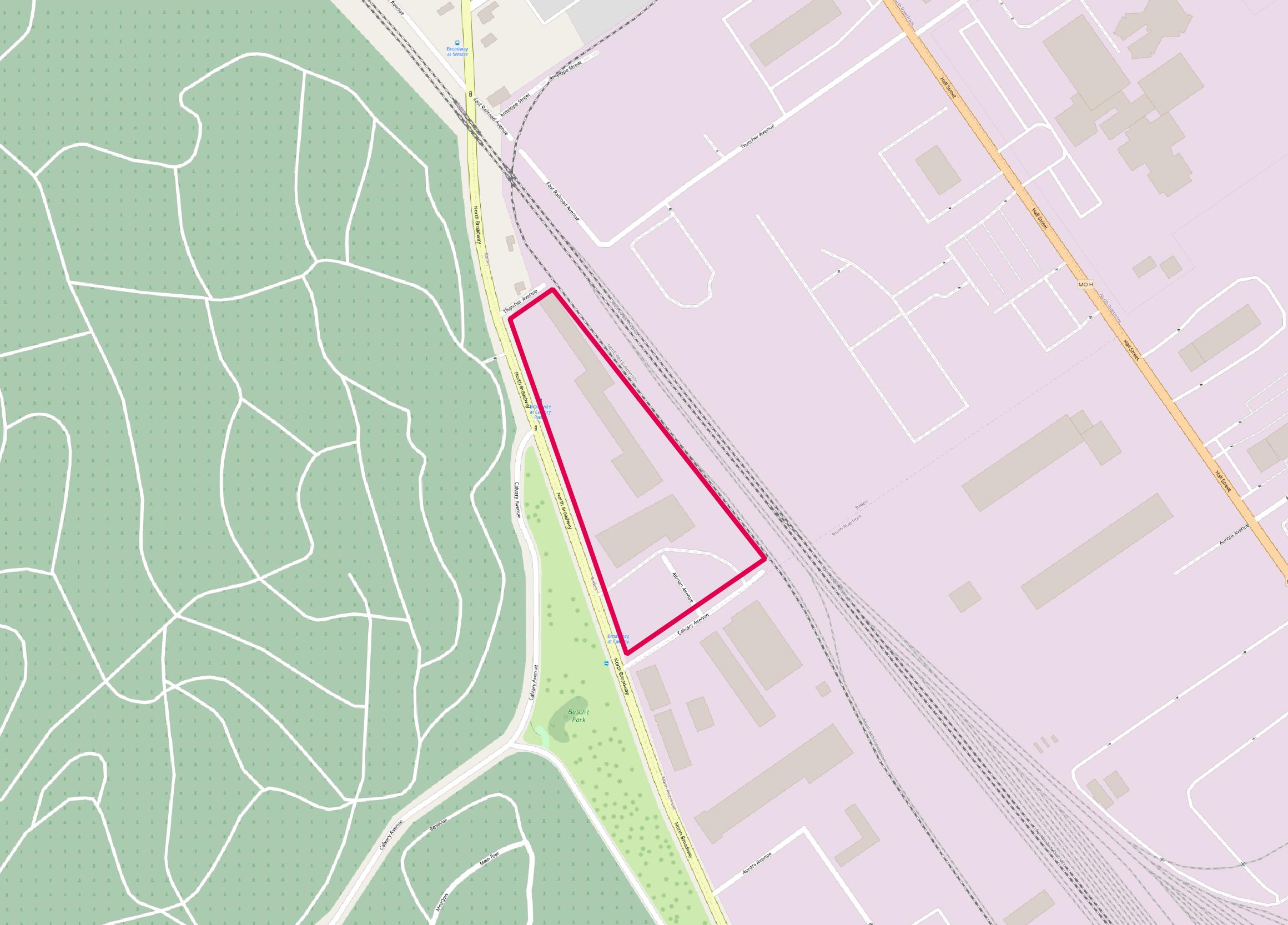
East of Broadway between Thatcher and Calvary. Opened: Closed: 1878 Type or Affiliation: United Church of Christ Number of Burials: Removals To: |
Click on this image to see it georeferenced in a Google Maps interface. |
GPS Coordinates: Latitude: 38.701041, Longitude:-90.227476 Click here for a Google map to where this cemetery was located.
This cemetery was established before 1870 east of Broadway between Thatcher and Calvary.
Source of Data for this Cemetery
None.
Cemetery Specific Data Notes
None.
Additional Resources
None
Last modified:
27-Jun-2025 19:41