Chesed Shel Emeth Cemetery (New) (C09)
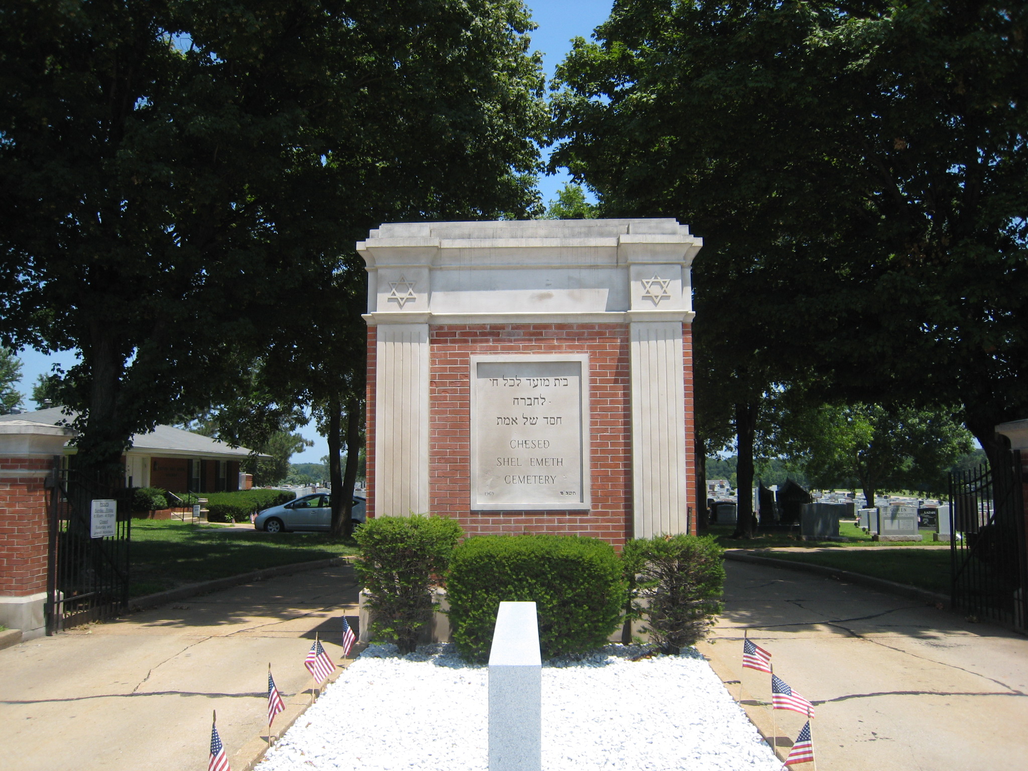
 Photo taken by Karl Bloomberg© 2011; used with permission. |
Chesed Shel Emeth (“Kindness of Truth”) Society Cemetery 650 White Road Chesterfield, Missouri 63017 314-469-1891 Orthodox Jewish Cemetery 29.85 Acres Burials indexed: 2,731 (1969–2002) |
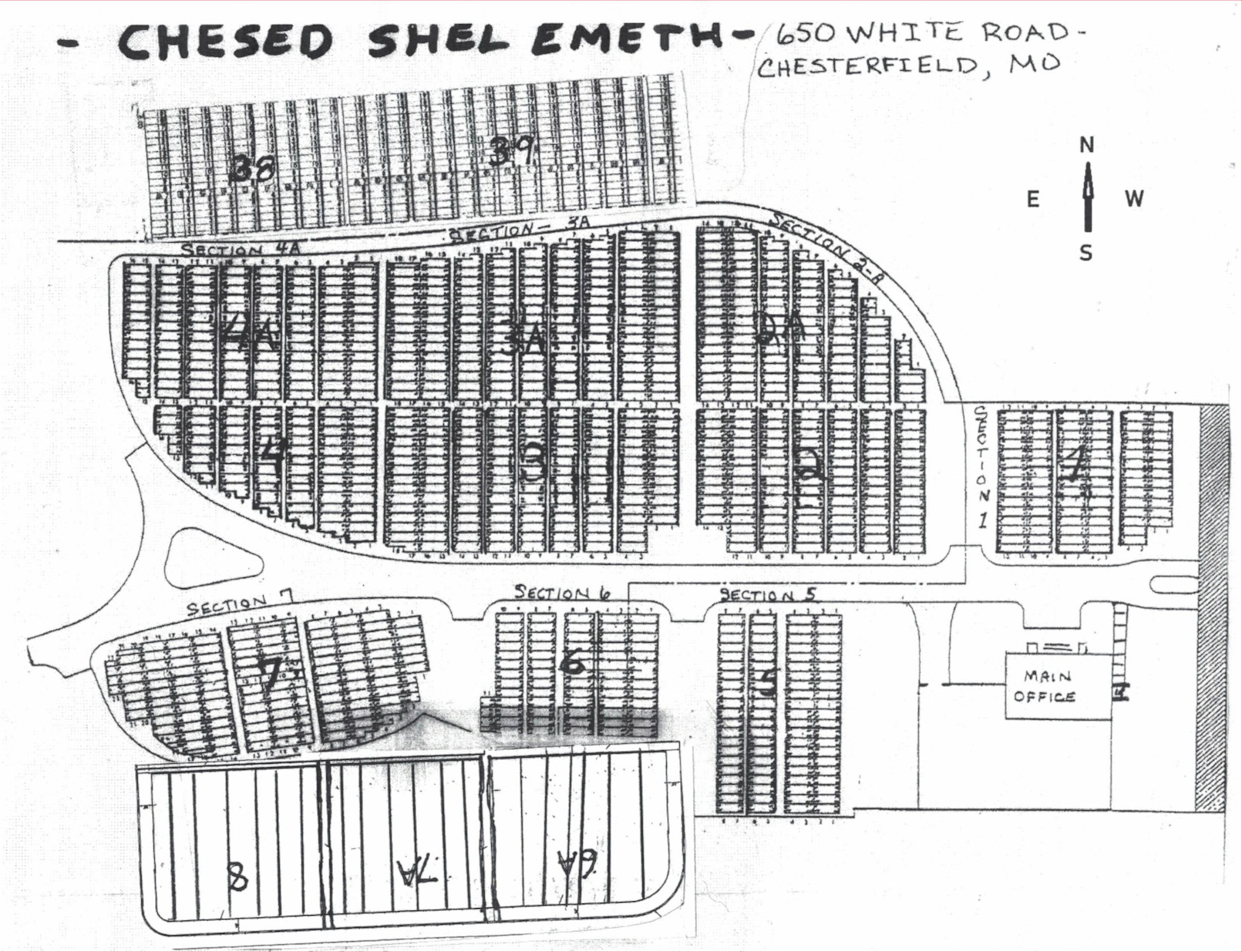
 Click on this map to see it georeferenced in a Google Maps interface. Map Courtesy of Chesed Shel Emeth Society |
GPS Coordinates: Latitude: 38.663348, Longitude: -90.5342357 Click here for a Google map.
The original Chesed Shel Emeth Cemetery is on the west side of Hanley Road at Olive Street Road in University City. As more Jewish people moved west and the original cemetery outgrew its space, a new cemetery was launched in 1967 with the purchase of thirty acres at 650 White Road, near Olive Boulevard in Chesterfield.
In 2011, a new cemetery, called Beth Shalom Cemetery (B41), was opened within this burial ground specifically meant for converts to Judaism via non-Orthodox rabbis. The two cemeteries share the same office on White Road.
For more information on the original cemetery, see Chesed Shel Emeth Cemetery (Old) (C08)
Source of Data for this Cemetery
Data transcribed from cemetery records by StLGS volunteers.
Cemetery Specific Data Notes
Hamilton, Esley, The Cemeteries of University City. (The Historical Society of University City: University City, Missouri, 1998), pages 15-17.
Additional Resources
Encyclopedia of the History of St. Louis, by William Hyde and Howard L. Conrad (New York, Louisville, St. Louis: The Southern History Company, 1899), volume 1, page 339.
“New Jewish Cemetery in Chesterfield Offers Solution to ‘Complicated Issue,'” in West NewsMagazine, April 2011.
General information on Jewish cemeteries and other resources in Missouri: https://iajgscemetery.org/usa/missouri-mo/
To access the JGS Cemetery Database records by name or Soundex search, please use the Search button on the top menu.
Last modified: 01-Jul-2024 10:11
