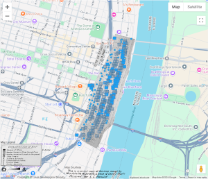
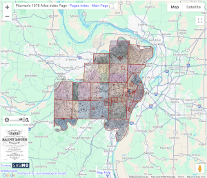
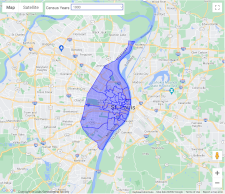
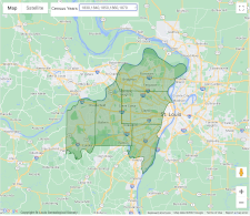
Web Map Links
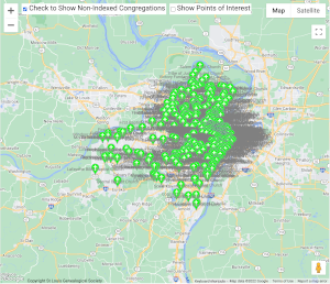
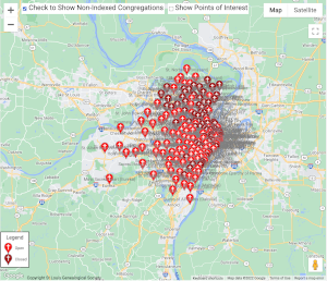
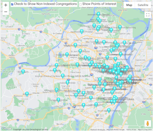
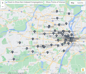
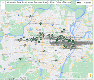
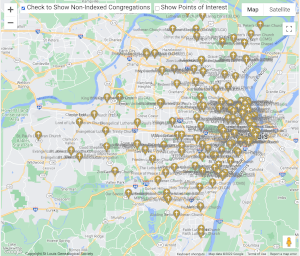
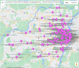
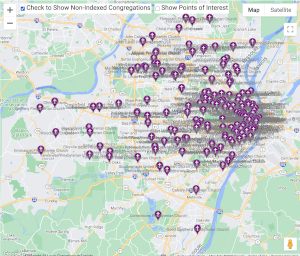
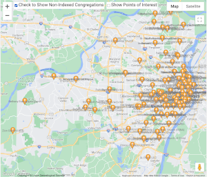
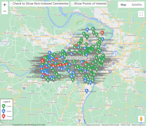
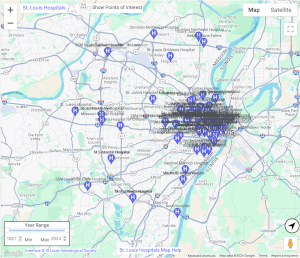
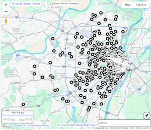
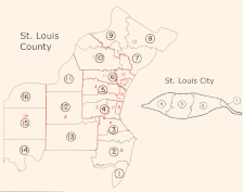
The Google maps below reflect St. Louis in 2024. We are in the process of creating maps that show the locations of congregations and cemeteries in St. Louis City and County. In addition, we have a map showing the enumeration districts in St. Louis for the 1950 census. As new maps are created, they will be linked to this page, so check back often. Instructions for using each map are on the linked pages; just click on a thumbnail map below to go to the page.
Map Links Congregations/Institutions Atlas/Plat Books Census Aids
Last modified: 08-Feb-2025 21:17