Sts. Peter and Paul Catholic Cemetery (St43)
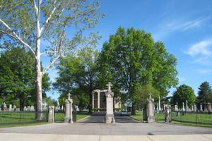
 Photo to the left taken by Karl Bloomberg © 2011; used with permission. |
7030 Gravois Avenue St. Louis, Missouri 63116 314-352-5300 Historical Catholic Cemetery Established: 1864 Burials indexed: 84,000 (1864–1928) |
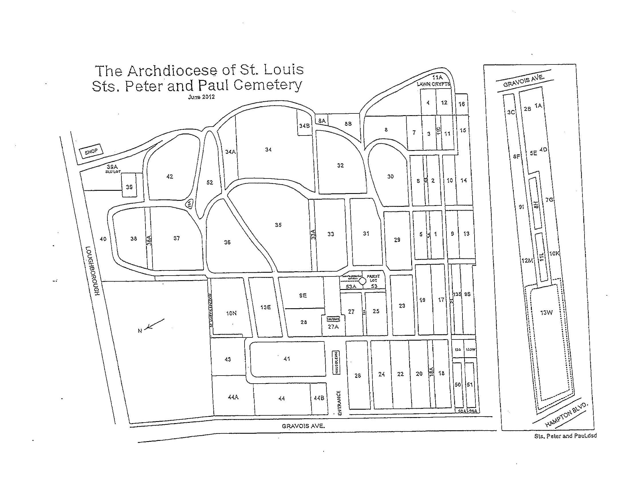
 Click on this map to see it georeferenced in a Google Maps interface. Map courtesy of the Catholic Archdiocese of St. Louis |
GPS Coordinates: Latitude: 38.5674967, Longitude: -90.2896862 Click here for a Google map to the cemetery.
This cemetery, the second largest Catholic cemetery in the St. Louis area, was established in 1850 and continues to be active. It was originally opened to serve the southside German community when their small parish cemeteries closed. The St. Louis Catholic Archdiocese owns this cemetery and their burial records may be searched at the cemetery office. This index includes records up to June 2001.
Source of Data for this Cemetery
Data provided electronically to StLGS by the Catholic Archdiocese of St. Louis.
Cemetery Specific Data Notes
“Grave Markers at 2nd Cemetery Removed Over Upkeep Fee Issue,” St. Louis Post-Dispatch, 12 August 1951.
“Weeds Hide Forgotten Civil War Cemetery, St. Louis Globe-Democrat, 25 May 1961.
“Superintendant’s Home Razed At SS. Peter & Paul Cemetery, St. Louis Post-Dispatch, 22 August 1967.
Sappington-Concord, A History. (St. Louis, Missouri: Sappington-Concord Historical Society, 1999), page 90.
Encyclopedia of the History of St. Louis, by William Hyde and Howard L. Conrad (New York, Louisville, St. Louis: The Southern History Company, 1899), volume 1, page 338.
Additional Resources
The ![]() Burial Search can be used to search for burial locations.
Burial Search can be used to search for burial locations.
Last modified:
29-Apr-2025 21:44
