St. John UCC Manchester Old (St10)

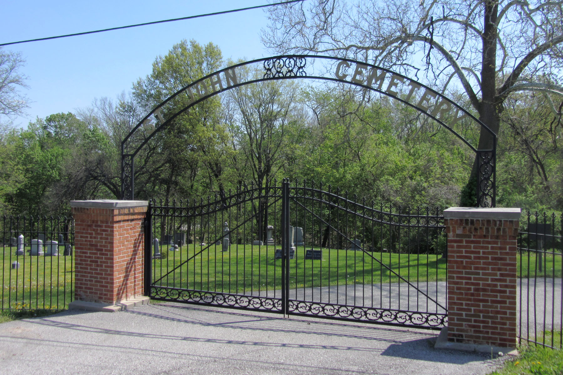
Photo taken by Donald A. Wallace © 2013 (Used with permission) |
St. John UCC (Manchester) Old Cemetery 258 Sulphur Spring Road Manchester, Missouri 63021 636-391-6655 UCC Cemetery Established: 1860 Size: 8 acres Burials indexed: 1177 (1860–2002) |

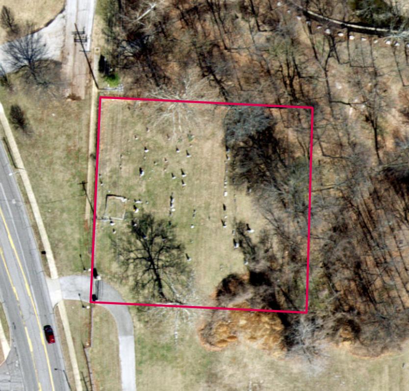
Click on this image to see the cemetery boundary georeferenced in a Google Maps interface. |
GPS Coordinates: Latitude: 38.5919026, Longitude: -90.5195791 Click here for a Google map to the cemetery.
The German United Evangelical Church established this cemetery next to their church in 1860. They built a new church on the top of the hill south of the church in 1927. They tore down the old church in 1952 to enlarge the cemetery and later added a new memorial lawn park section at the top of the hill across from their new church. This cemetery is adjacent to St John UCC Manchester (New) Cemetery (St11). Each has its own entrance gate, but this gate has been closed.
Source of Data for this Cemetery
Data recorded from tombstones in 1982 by StLGS volunteers Virginia Guinther and Jackie Whitworth. Additional data provided in 1987 by Hubert J. Kopp, Jr.
Cemetery Specific Data Notes
None.
Additional Resources
Old Cemeteries, St. Louis County, Missouri, volume 1 (St. Louis Genealogical Society: St. Louis, Missouri, 1982), pages 201–202.
Old Cemeteries, St. Louis County, Missouri, volume 4 (St. Louis Genealogical Society: St. Louis, Missouri, 1987), page 84.
To see St John UCC Manchester (New) Cemetery (St11), click here.
For more information on St. John UCC-Manchester congregation, Click here.
Last modified: 11-Mar-2025 20:30
