Salem-in-Ladue United Methodist Church
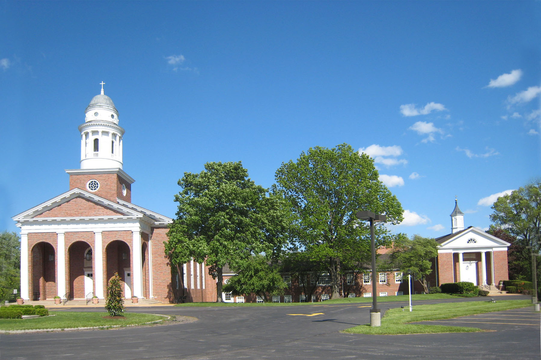
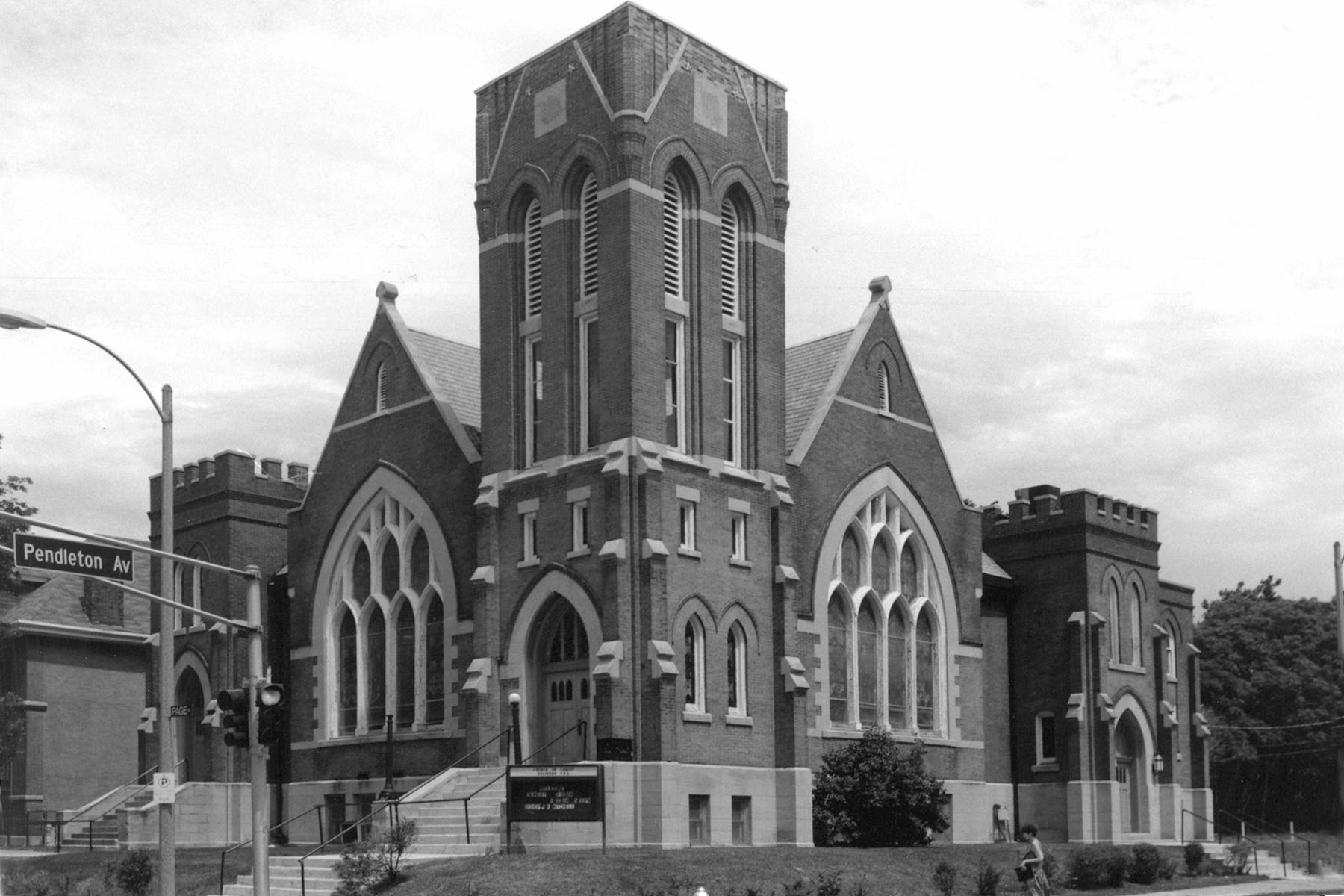
Genealogical DataThe following indexes and records from this congregation are available: Confirmations from 1935 to 1938 Marriages from 1864-1926, 1932-1956 (no further data) Deaths recorded from 1934 to 1943 (no further data) StLGS is following state guidelines for privacy wherever possible. Births/baptisms online must be at least one hundred years old; confirmations eighty-six years old; marriages forty-five years old; and deaths fifty years old. Additional indexed data from these records may be available; please come to the StLGS office to view it. As privacy limits permit, society volunteers will post additional data online. The indexes are arranged by last name, then given name. Each entry links to the church register section that contains the written entry. HistoryEstablished: 1841, still open in 2025 Led by Rev. Ludwig Jacoby, this congregation began to meet in a rented building in St. Louis in 1841. The next year, the tiny congregation purchased property on Wash Street (now Cole Street) and built a small frame chapel. They moved again in 1873 to Wash Street between 15th and 16th. Following the population westward migration, the congregation moved once more in 1905 into a new church at Page and Pendleton. This former church location is now the site of the Christ Temple Cathedral Church of Christ Holiness U.S.A. Twenty years later, the congregation moved into a new church on Kingshighway. During the depression years, the members struggled to maintain their place of worship. They held a number of fund raisers and persevered to save the church. The church in the early 1950s found that they no longer could maintain or support their church cemetery. They undertook the arduous task of relocating the graves to Hiram Cemetery in Creve Coeur in 1953. After worshiping in the City of St. Louis for 33 years, the congregation made yet another move further west. They purchased property in St. Louis County on Lindbergh Boulevard just north of Interstate 64 and built a chapel that they dedicated in 1958. As the congregation size grew, they built a larger sanctuary in 1966 next to the chapel. The congregation sometimes uses the name Salem in Ladue United Methodist Church to uniquely define their new church location. As the congregation continued to prosper they built a larger sanctuary and added more office space in 1979. In 2005 they again expanded their facilities to provide space for more classrooms and a multipurpose room/gym. Address: 1200 S. Lindbergh Boulevard, St. Louis, Missouri 63131 Location 1842–1873: 11th and Wash/Cole, St. Louis, Missouri 63101 Location 1873–1905: 15th and Wash/Cole, St. Louis, Missouri 63106 Location 1905–1925: 4301 Page Boulevard, St. Louis, Missouri 63113 Location 1925–1958: 1908 N. Kingshighway, St. Louis, Missouri 63113 Location 1958– : 1200 S. Lindbergh Boulevard, St. Louis, Missouri 63131 |
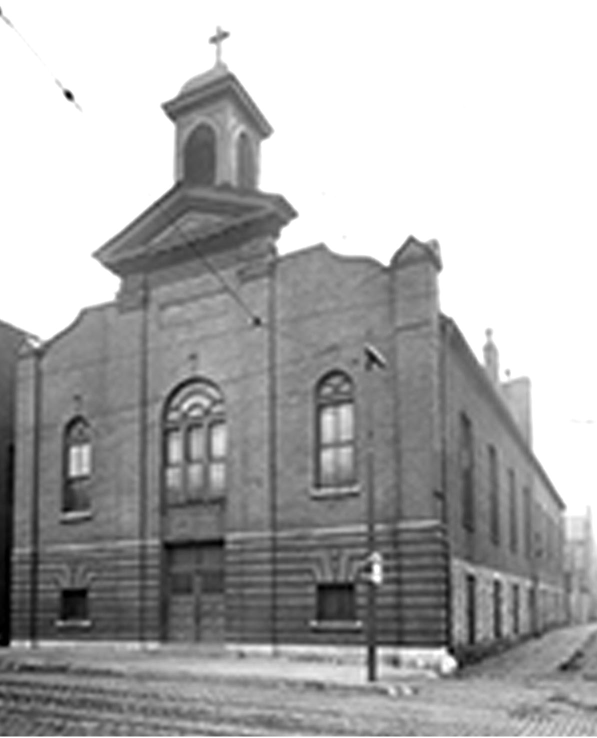
 Salem Methodist, 1200 S. Lindbergh Photo by Karl Bloomberg © 2015 (Used by permission)  Salem Methodist Church, 4301 Page Photo from Landmarks Association (Used by permission)  Salem Methodist Church, Undisclosed downtown location Photo from Landmarks Association (Used by permission) |
Salem Methodist (Old) Cemetery was formerly at 6810 Natural Bridge. Burials were removed to Hiram, now Bellerive Heritage Cemetery, when the city of Berkeley ordered residential and commercial expansion. Click here to go to the Salem Methodist (Old) Cemetery (S05) page.
Last Modified:
22-Apr-2025 18:09