Salem Evangelical UCC
[This church is currently called Salem Evangelical Free Church and is no longer affiliated with UCC.]
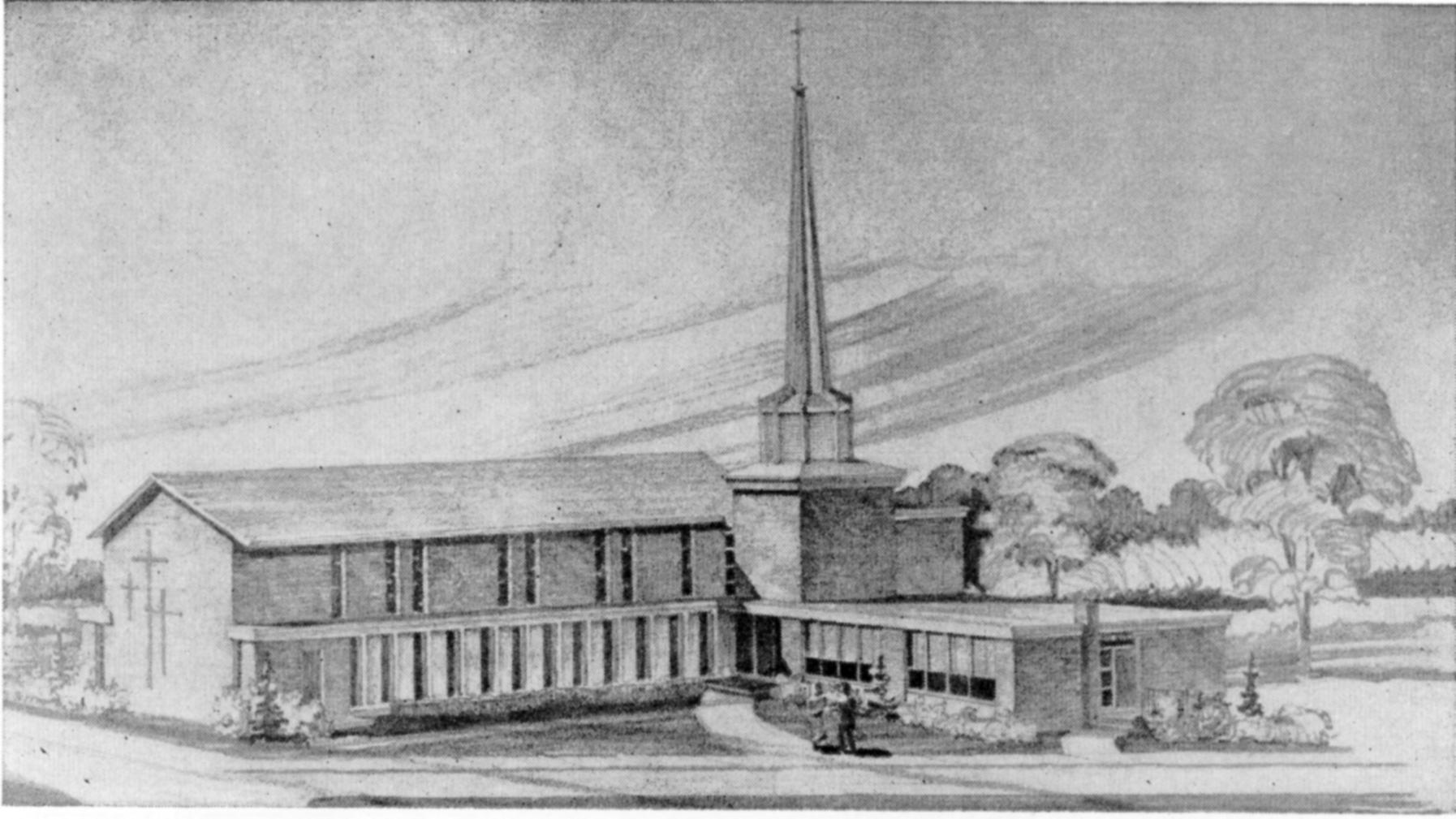
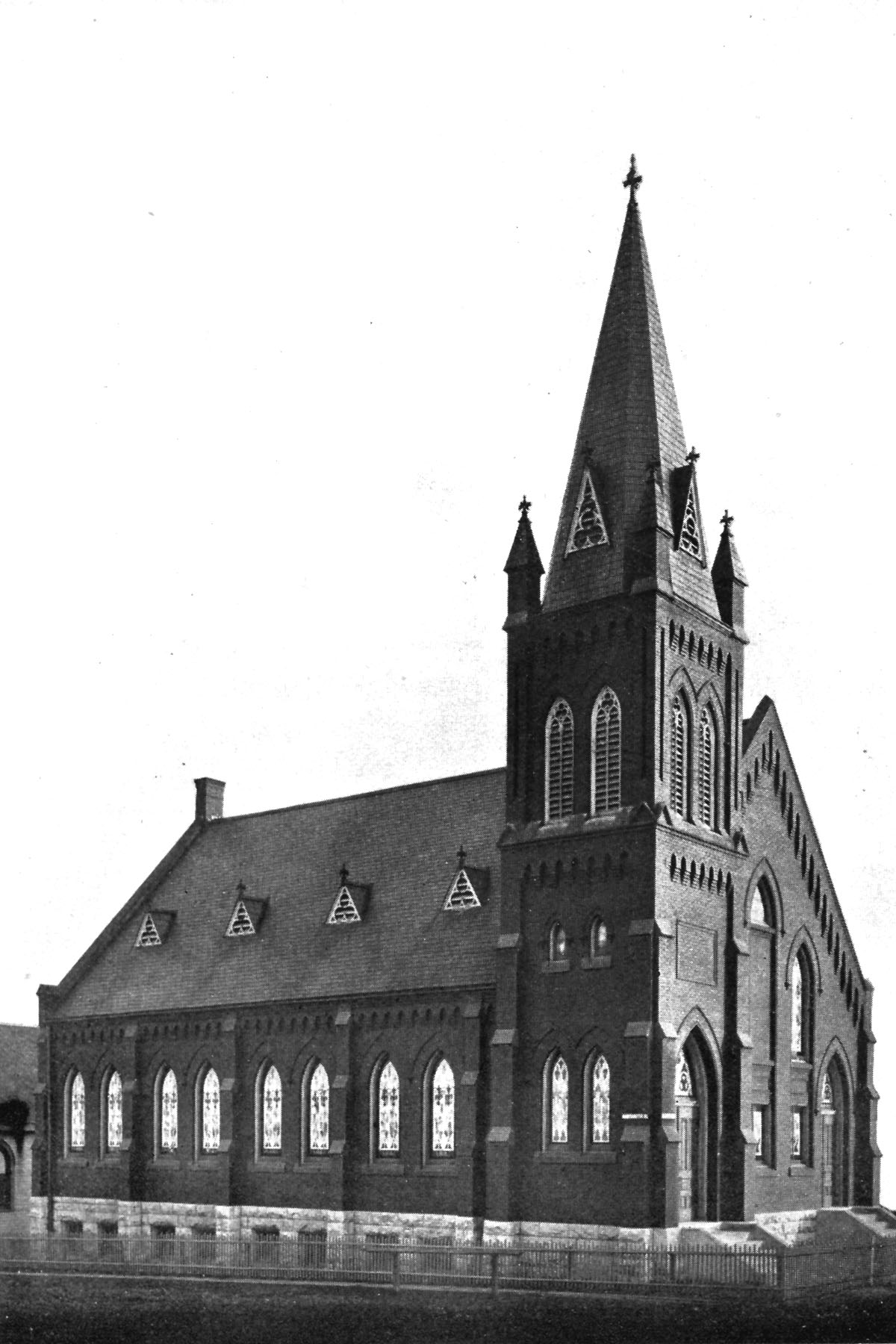
Genealogical DataThe following records from this congregation are available: Confirmations from 1886 to 1939 StLGS is following state guidelines for privacy wherever possible. Births/baptisms online must be at least one hundred years old; confirmations eighty-six years old; marriages forty-five years old; and deaths fifty years old. Additional data from these records is available; please come to the StLGS office to view it. As privacy limits permit, society volunteers will post additional data online. HistoryEstablished in 1885, closed in July 2024 A group of families living in northwest St. Louis City organized a new Evangelical congregation in 1885. Students from Eden Seminary conducted the first services held in a Presbyterian church on Marcus Avenue before the congregation built a new church at Shreve and Margaretta Avenues. As the congregation continued to grow, they dedicated a larger church in 1898. The following year, the congregation built a parochial school next to their church. By 1912, the church began conducting a service in English once a month. They voted to conduct all services in English in 1920. The merger of their church in 1957 into United Church of Christ upset the Evangelical members. The congregation had about 800 members by 1955. However, as members began moving out of the neighborhood, the congregation attendance dwindled to just forty members by 1960. The congregation knew that in order to survive they needed to move out of the city. They voted to relocate to serve the area where their former members now were living and purchased a new site at New Halls Ferry Road and Pohlman Roads in Florissant. They dedicated their new church on Christmas day in 1961 and sold their old church site to St. Peter’s AME Church in 1962. The congregation voted in 2003 to join the Evangelical Free Church of America. Location 1885–1898: Marcus Ave and Margaretta Ave, St. Louis, Missouri 63115 GPS (Latitude, Longitude): 38.6753831, -90.2425986 View Map Location 1898–1962: 3932 Shreve Avenue, St. Louis, Missouri 63115 GPS (Latitude, Longitude): 38.6756483,-90.2463228 View Map Location 1962–2001: 2490 Pohlman Road, Florissant, Missouri 63033 GPS (Latitude, Longitude): 38.7831449, -90.2798695 View Map Location 2001–2024: 2490 Pohlman Road, Florissant, Missouri 63033 (as Salem Evangelical Free Church) GPS (Latitude, Longitude): 38.7831449, -90.2798695 View Map |
|
Last Modified:
13-Jan-2026 11:28

