Hopkins 1883 Atlas
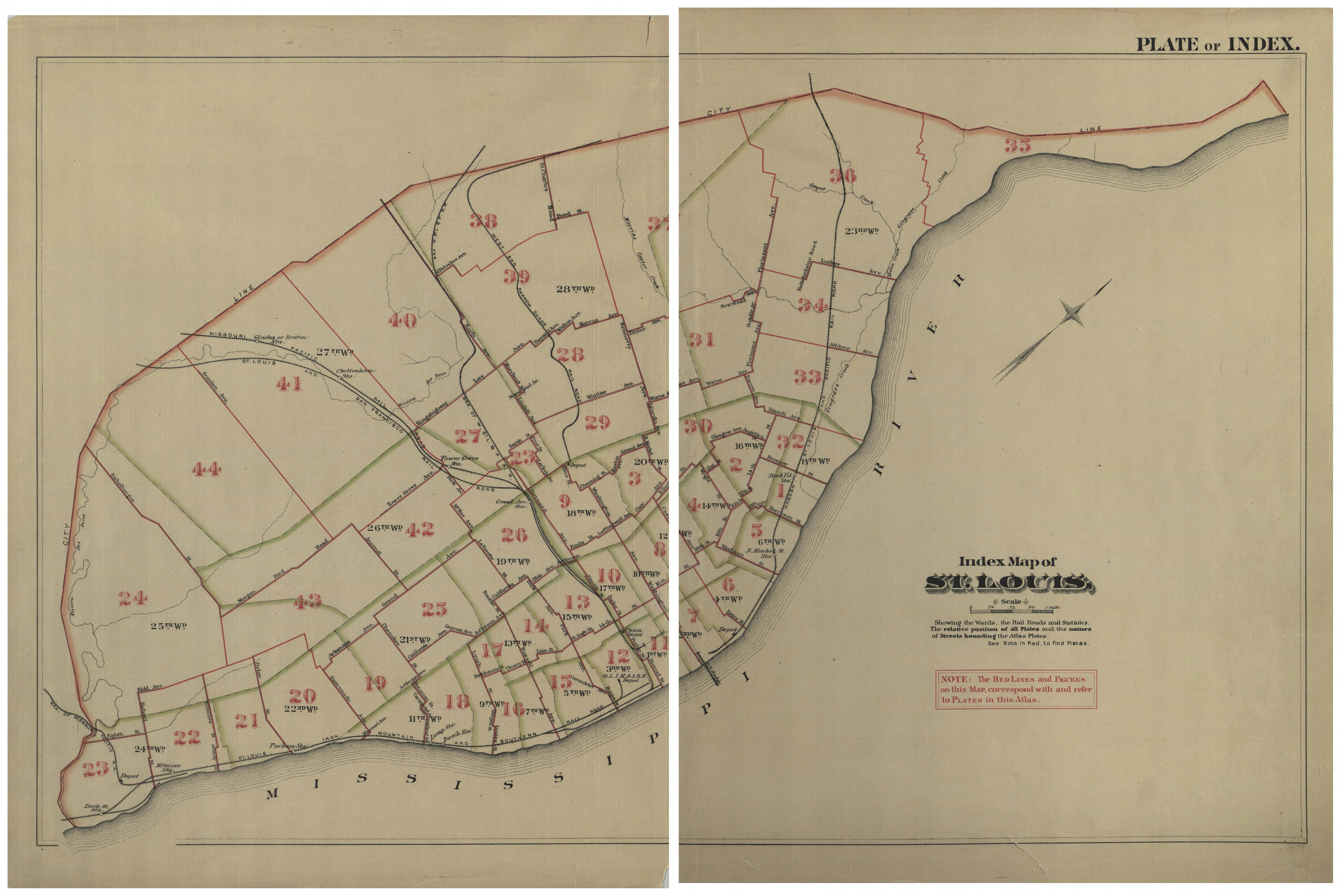
The Hopkins 1883 Atlas is another atlas of the city of St. Louis, Missouri, containing data that came from “official records, private plans and actual surveys.” It was published by G. M. Hopkins, C.E., 320 Walnut St., Philadelphia, in 1883.
The State Historical Society of Missouri has digitized all of the plates of the atlas and made them available for digital download on their website at Hopkins 1883 Atlas. ![]()
The map below shows how the atlas has St. Louis divided into plates. Click on each segment to go to the individual page on the State Historical Society’s website.
