Old Jamestown Road Cemetery
Copyright Google Street View terms of service. |
15443 Old Jamestown Rd Florissant, Missouri Family Cemetery Established: 1860s Size: 2.4 acres Burials indexed: None |
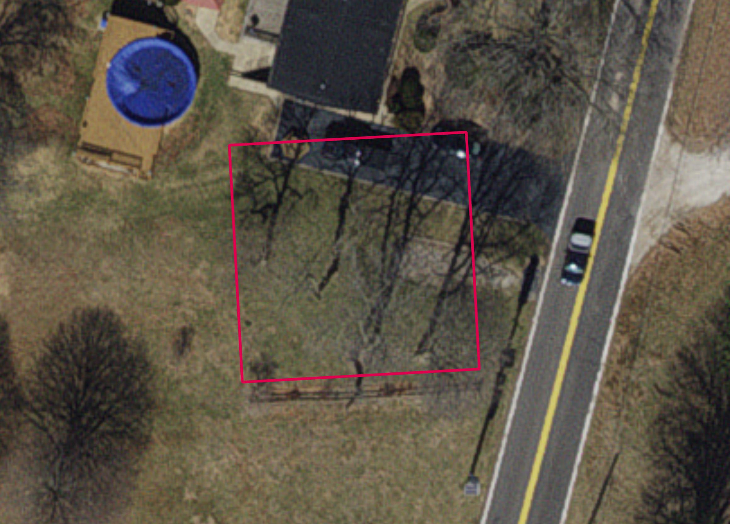 Click on this image to see the cemetery boundary georeferenced in a Google Maps interface. Image courtesy of the year 2024 ArcGIS layer from St. Louis County GIS Center |
This old cemetery is located on a survey done in 1907. The cemetery is listed in Pitzman’s 1878 Atlas of the County and the 1909 Northwest Publishing Company’s Plat Book of St. Louis County. The St. Louis County Parcels ArcGIS layer has the boundary, and it is listed as a cemetery.
Source of Data for this Cemetery
We have no data for burials in this cemetery. We welcome information, if anyone knows anything.
Cemetery Specific Data Notes
None.
Additional Resources
1878 Pitzman’s New Atlas of the City and County of Saint Louis, Missouri, page 71.
1909 Northwest Publishing Company’s Plat Book of St. Louis County, page 102.
Last modified:
06-Jun-2025 13:53