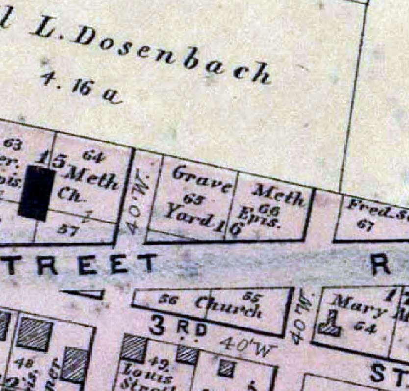
German Methodist Episcopal Church Graveyard (Ballwin)
| 14825 Manchester Road Ballwin, Missouri 63011 Historical Methodist Episcopal Cemetery Established: 1837 Size: 0.25 acres Burials indexed: 0 (1837–1900?) |

Click on this image to see the cemetery boundary georeferenced in a Google Maps interface. |
| Current graveyard location is Salem Methodist Cemetery (S04) |
GPS Coordinates: Latitude: 38.5932217, Longitude: -90.5395103 Click here for a Google map to the cemetery.
This German Methodist Episcopal Church Graveyard was the original location of the now Salem Methodist Cemetery. It was established in 1837 by John Ball and other Kentucky pioneers.
Source of Data for this Cemetery
This graveyard was moved to what is now the location of Salem Methodist Cemetery sometime between 1878 and 1908
Cemetery Specific Data Notes
None.
Additional Resources
Old Cemeteries, St. Louis County, Missouri, volume 1 (St. Louis Genealogical Society: St. Louis, Missouri, 1982), page 203.
Last modified:
07-Jan-2025 18:41