Chevra Kadisha Adas Cemetery (C10)

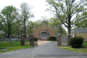
Photo taken by Karl Bloomberg © 2011; used with permission. |
Chevra Kadisha Adas B’nai Israel Vyeshurun (“Holy Society and Congregation of Israel and Yeshurun”) 1601 North and South Road (at Page Blvd.) St. Louis, Missouri 63130 314-427-0160 Jewish Cemetery Established: 1922 Size: 10.2 acres Burials indexed: 4,238 (1922–2002) |

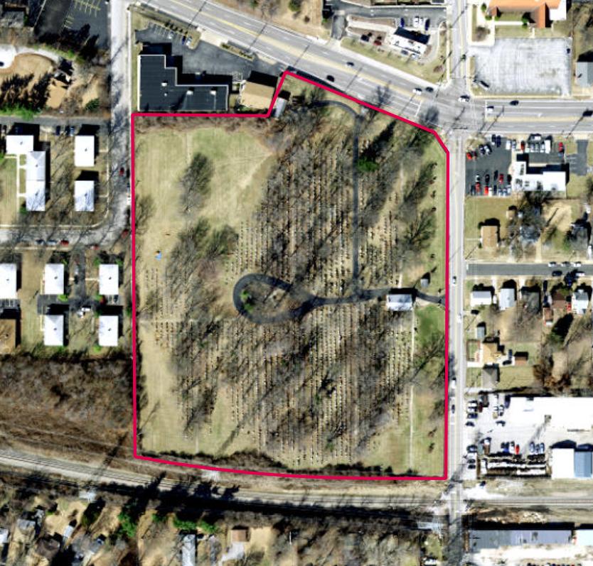
Click on this image to see the cemetery boundary georeferenced in a Google Maps interface. |
GPS Coordinates: Latitude: 38.6827888 Longitude: -90.3381033 Click here for a Google map.
StLGS has indexed records and plot maps since 1922.
Began as another burial society (chevra kadisha) in 1920, when a group of interested laymen met at Zichron David Synagogue. The 10.2 acres at the corner of Page and North and South Road were purchased on 18 January 1922. The cemetery society remains wholly independent of any congregation.
Source of Data for this Cemetery
Data transcribed from cemetery records by StLGS volunteers.
Cemetery Specific Data Notes
Hamilton, Esley, The Cemeteries of University City. (The Historical Society of University City: University City, Missouri, 1998), pages 17–19.
Additional Resources
None.
General information on Jewish cemeteries and other resources in Missouri: https://iajgscemetery.org/usa/missouri-mo/
To access the JGS Cemetery Database records by name, please use the Search button on the top menu.
Last modified: 12-Nov-2024 16:14
