B’nai Amoona Cemetery (B21)
 |
B’nai Amoona (“Children of Faith”) 930 North and South Road St. Louis, MO 63130 314-725-2033 Jewish Cemetery Established: 1871 Size: 14.16 acres Burials indexed: 4,527 (1872–2002) |
 |
|
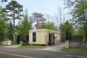
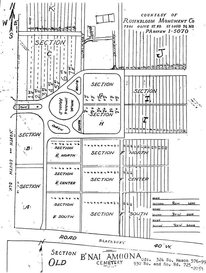
| Photo taken by Karl Bloomberg © 2011; used with permission. | Click on this map to see it georeferenced in a Google Maps interface. Map courtesy of the Rosenbloom Monument Co |
GPS (Latitude, Longitude): 38.665602, -90.335354 Click here for a Google map.
The cemetery holds a short entry register, 1888–1895, (records 1872–1887 are missing) and recent large plot maps which locate all identifiable graves from existing monuments and records.
The present cemetery has plots on both sides of Blackberry Lane. The smaller one to the south is 1.3 acres and dates back to 1871, when it was purchased for an early congregation called Sheerith Israel. In 1884, a splinter group from Sheerith Israel formed B’nai Amoona. In 1893, however, Sheeerith Israel and B’nai Amoona were reunited under the B’nai Amoona name. The name of the cemetery was not officially changed to B’nai Amoona until 1924.
Source of Data for this Cemetery
Data recorded from tombstones and cemetery information by volunteers from the former Jewish Genealogical Society of St. Louis.
Cemetery Specific Data Notes
Hamilton, Esley, The Cemeteries of University City. (The Historical Society of University City: University City, Missouri, 1998), pages 13-15.
Encyclopedia of the History of St. Louis, by William Hyde and Howard L. Conrad (New York, Louisville, St. Louis: The Southern History Company, 1899), volume 1, page 339.
Additional Resources
None.
General information on Jewish cemeteries and other resources in Missouri: https://iajgscemetery.org/usa/missouri-mo/
Visit or return to Congregation B’nai Amoona
Visit or return to Congregation B’nai Amoona
Last modified:
06-Jul-2024 22:15
