City Cemetery – Arsenal Island (A05)
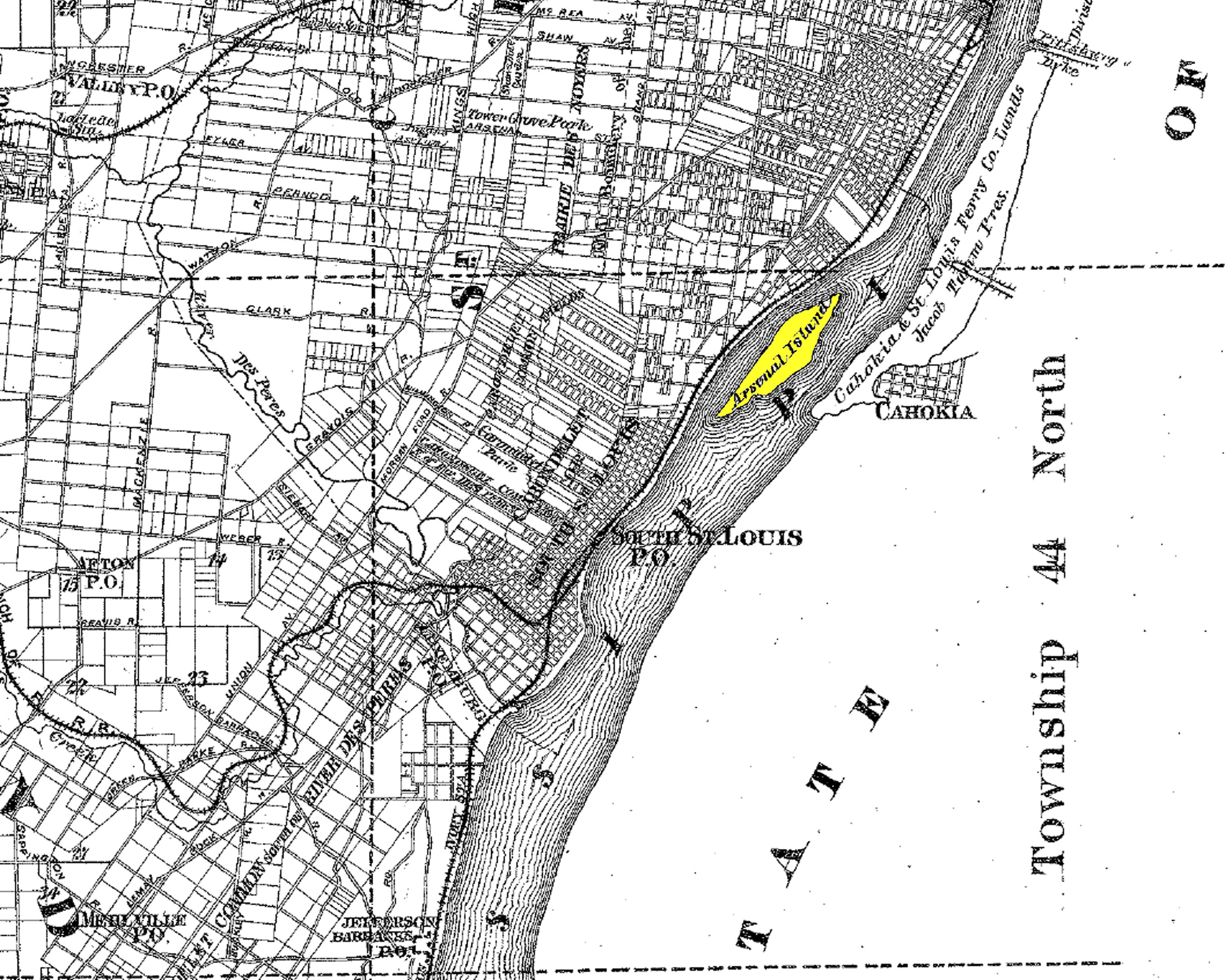 |
Island in the Mississippi River St. Louis, Missouri City and Military Burial Ground Historic Cemetery: 1859–1870 Also known as Quarantine Island |
 | |
| Click on this image to see it georeferenced in a Google Maps interface. Image from Map of The City Of St. Louis MO. & Vicinity, 1852 by Edward Charles Schultse provided by Missouri Historical Society |
GPS Coordinates: Latitude: 38.5806269 Longitude: -90.2095116 Click here for a Google map to the approximate location.
First a city cemetery, then a military cemetery used for burial of Confederate soldiers, in 1856, it became the site where the city removed bodies for reburial from the city-owned cemetery in Benton Park. They chose Arsenal Island since many of the original graves contained victims of the typhoid epidemic that raged in St. Louis in the 1850s. In 1870, some of the graves were removed to Jefferson Barracks National Cemetery. Those graves moved were unmarked and the names of the deceased are unknown. The rest of the graves were destroyed by the river and many bodies were washed down the river to the Gulf of Mexico. The island no longer exists having been eroded by floods and the river over time.
Last modified: 08-Jan-2024 23:36